" Neerindri Amayathu Ulagu: When water fails, functions of nature cease " ? Thiruvalluvar.
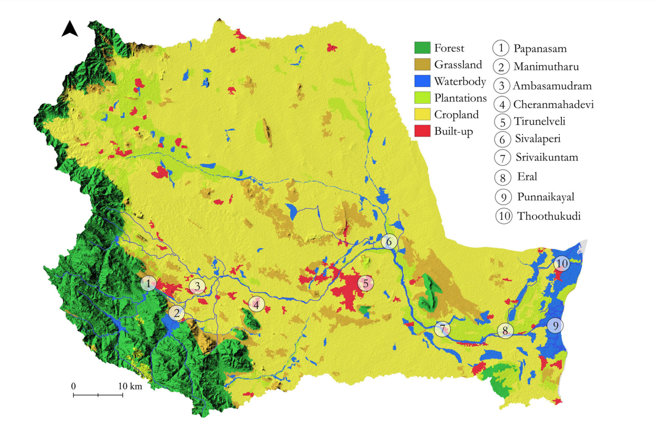
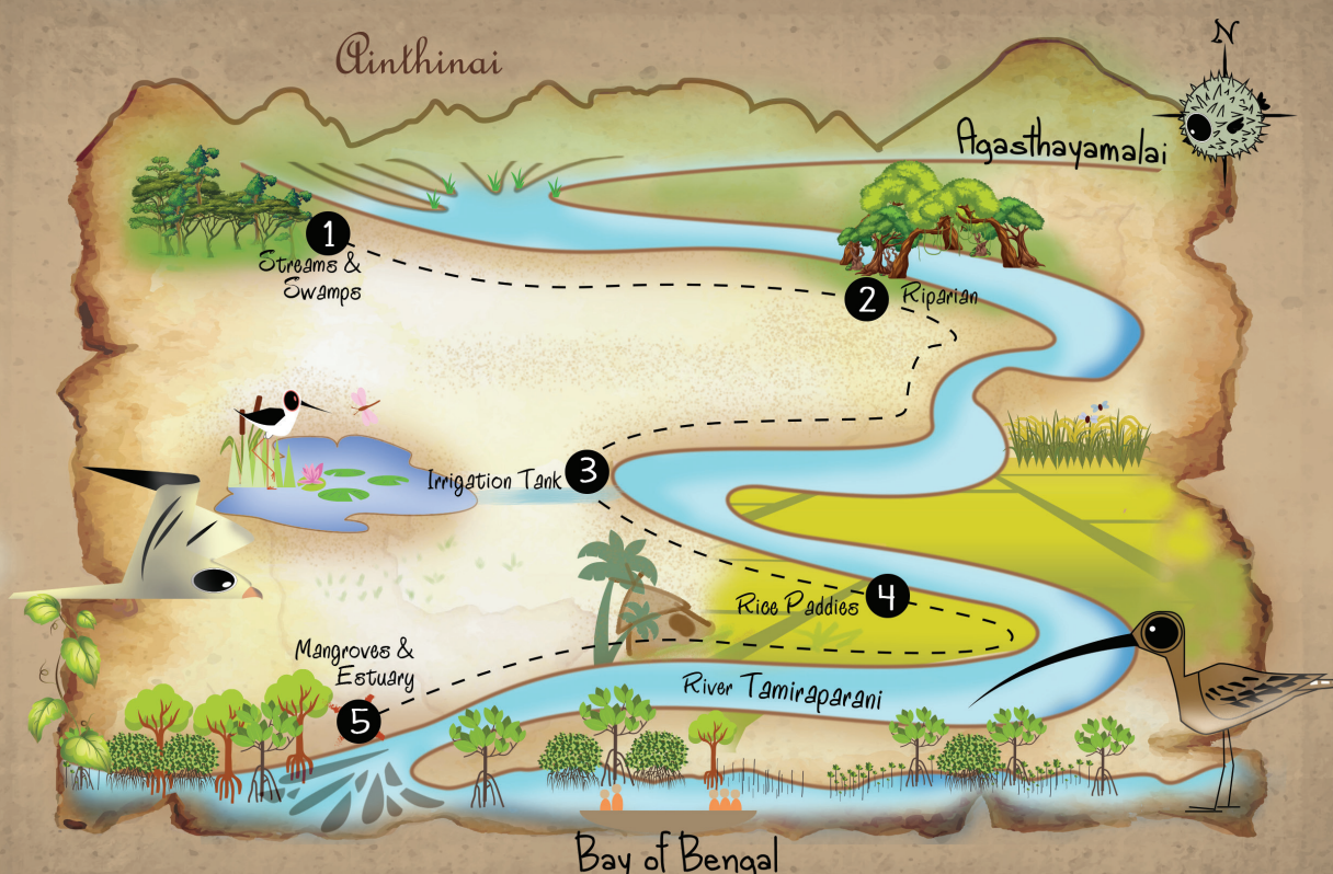
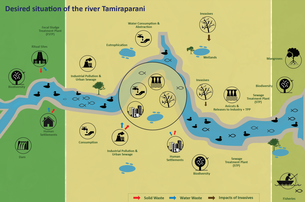
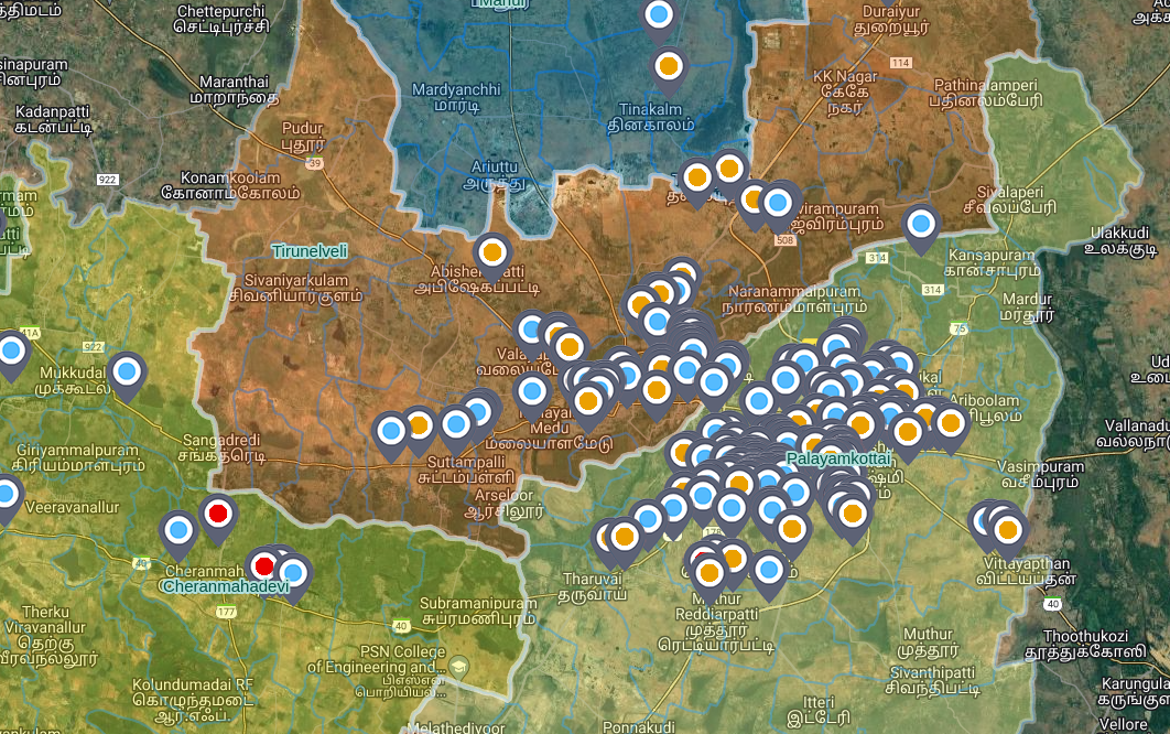
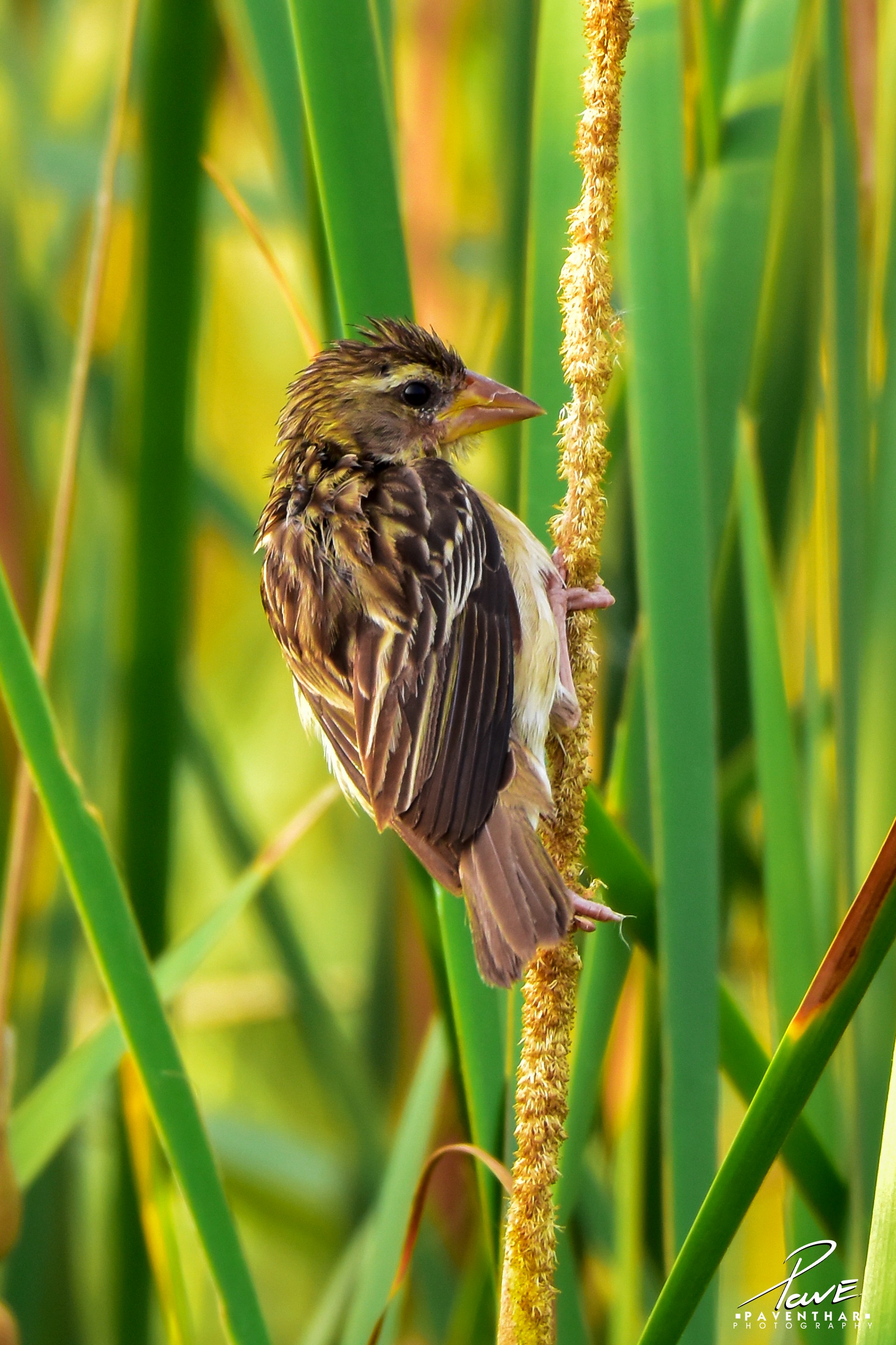
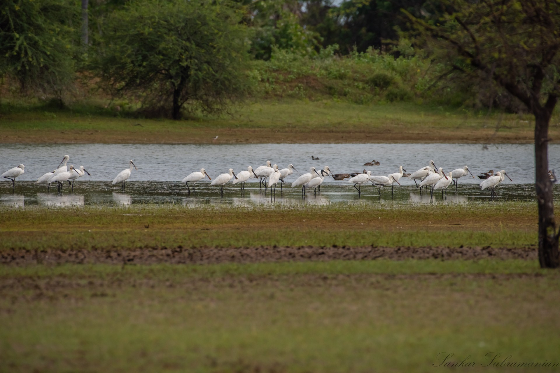
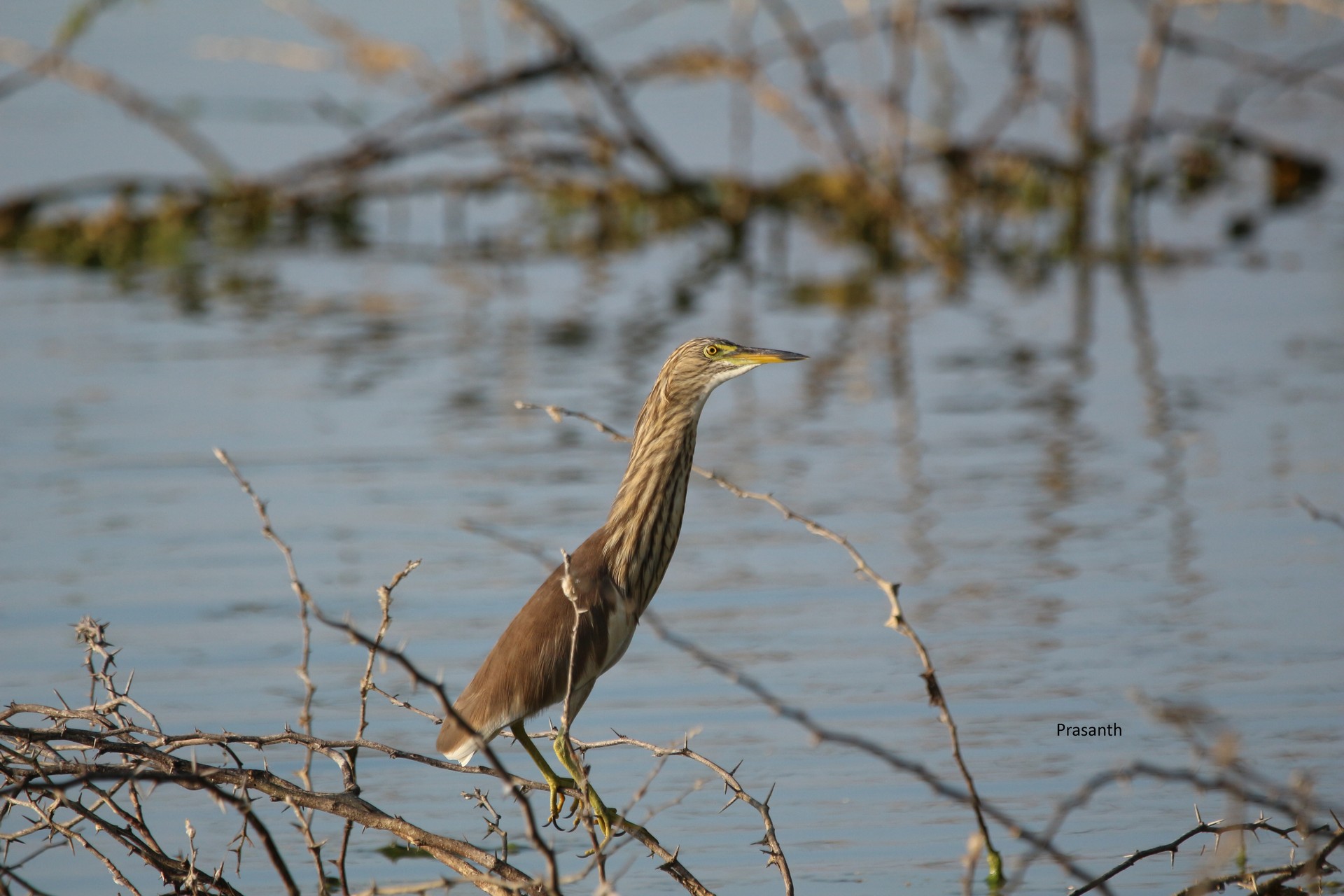
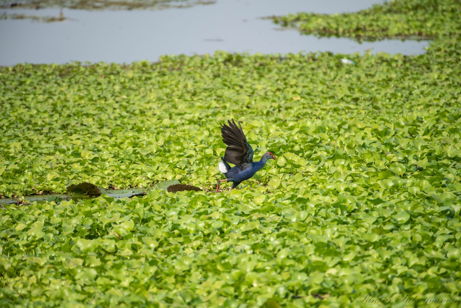
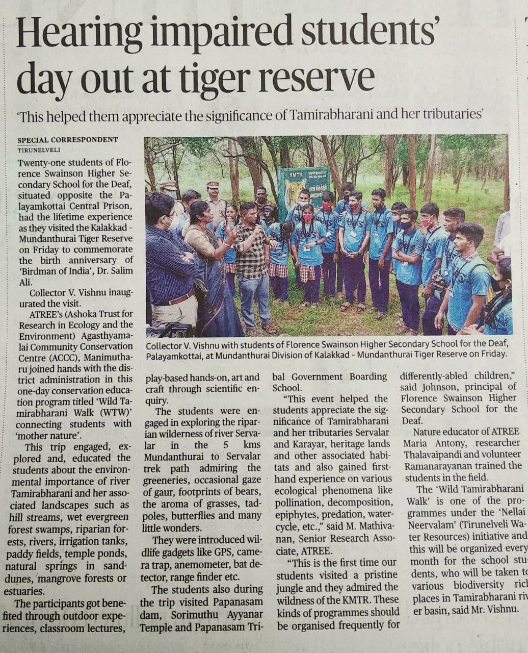
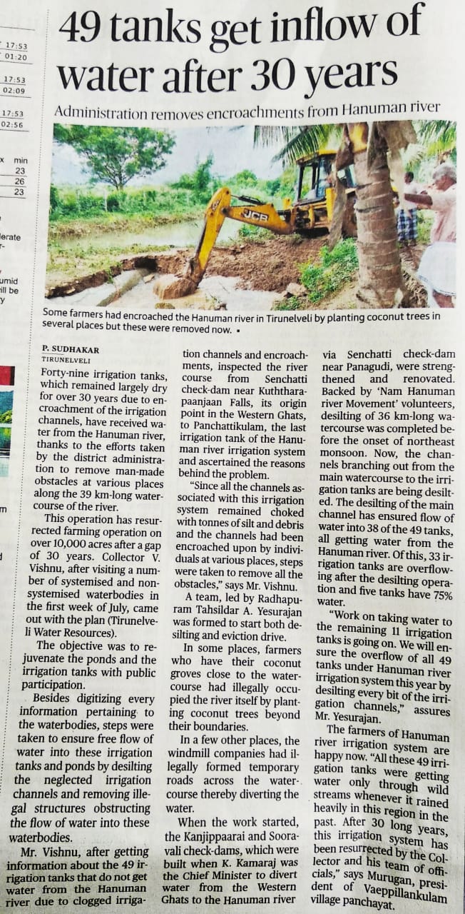
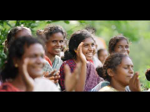
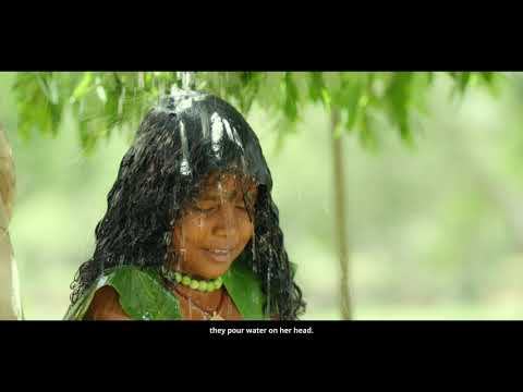
Nellai Neervalam is a unique community engagement and mangement framework for water security and ecological conservation designed and developed by the District Administration, Tirunelveli in Tamil Nadu. The district has more than 1200 water bodies, six major reservoirs, several dams (anaicuts) and water course channels which form a unique water and biodiversity ecosystem evolved over centuries. River Tamiraparani, the lifeline of Tirunelveli having its source in the Agasthiyar Biosphere Reserve is the only perennial river originating in Tamil Nadu. The river and the numerous waterbodies reflect the the people, their rich culture and heritage of the landscape.
Nellai Neervalam mission is aligned to meet the Sustainable Development Goals (SDG) 6 and SDG 15 of the 2030 Agenda for Sustainable Development. The mission further aims to converge the existing schemes of the Government of Tamil Nadu and Government of India effectively in collaboration with technical agencies, research groups, citizen voluntary organisations and the corporate sector. We invite interested volunteers, students, and voluntary organizations to participate in the following programs.
Nellai Digital Water Atlas
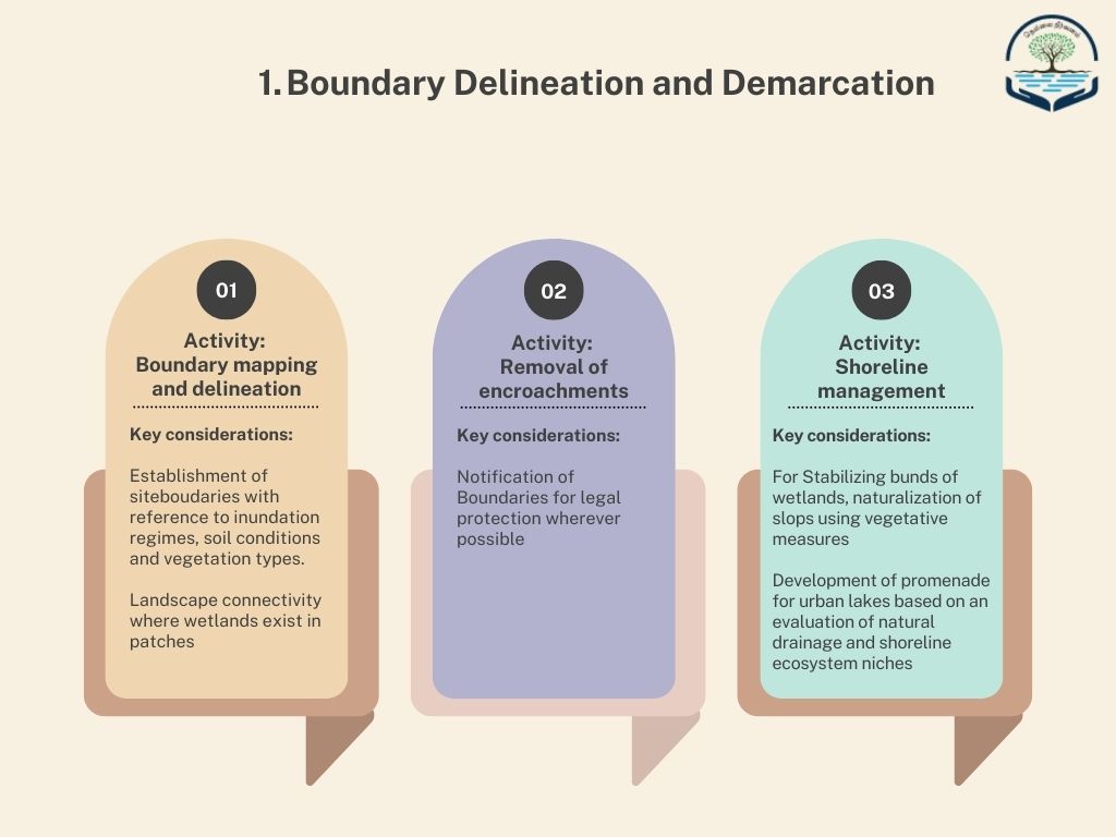
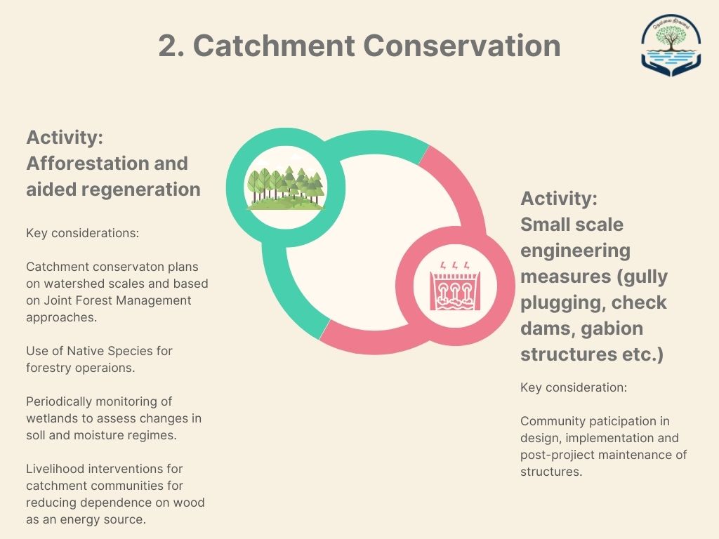
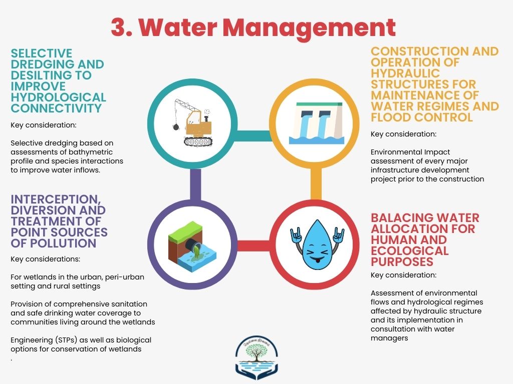
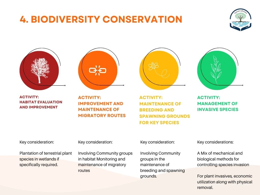
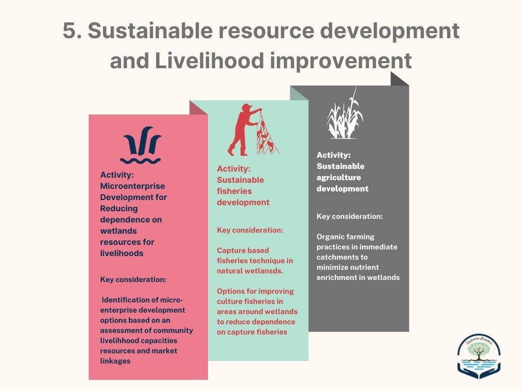
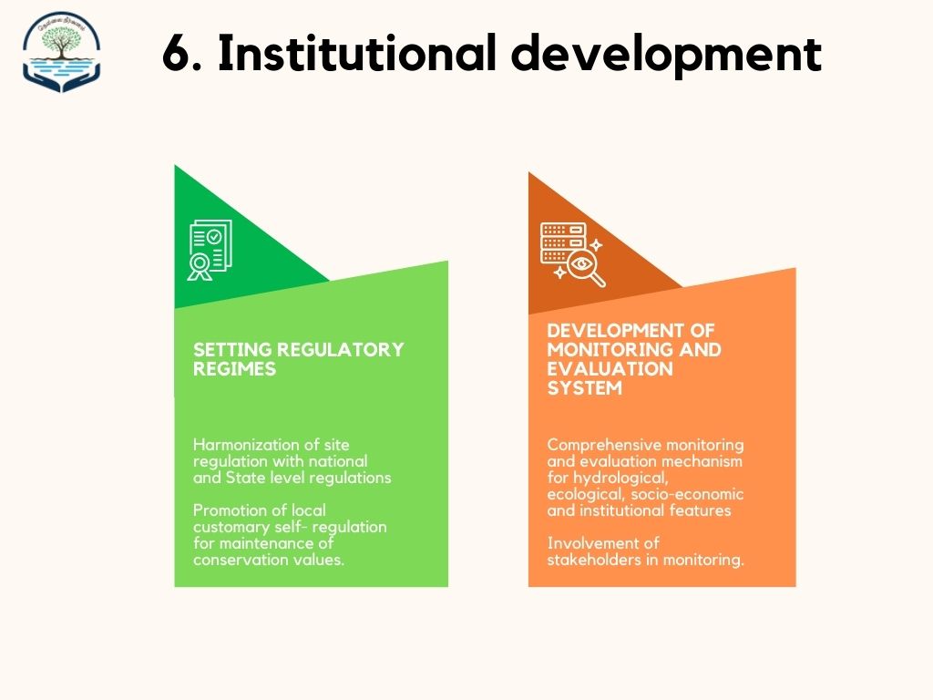
Restoration and Rejuvenation of Wetlands
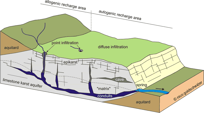
TamiraSES - RiverTamiraparani Socio-Ecological System restoration
Nellai Tree Mapping
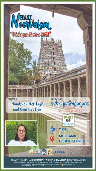
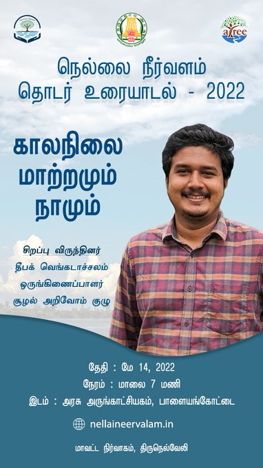
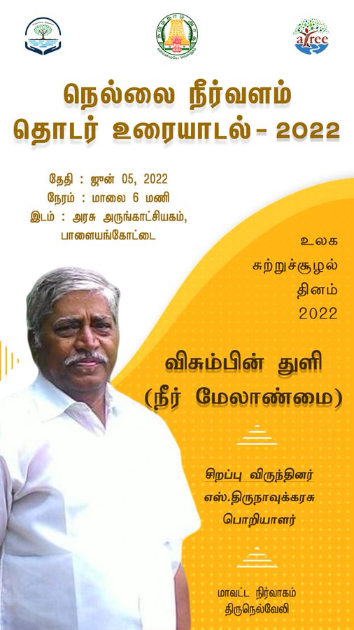
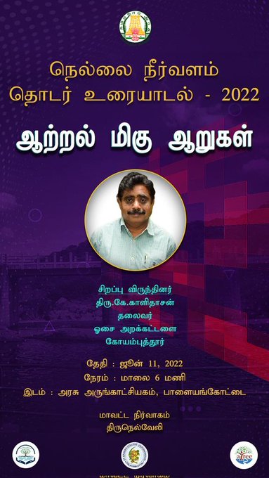
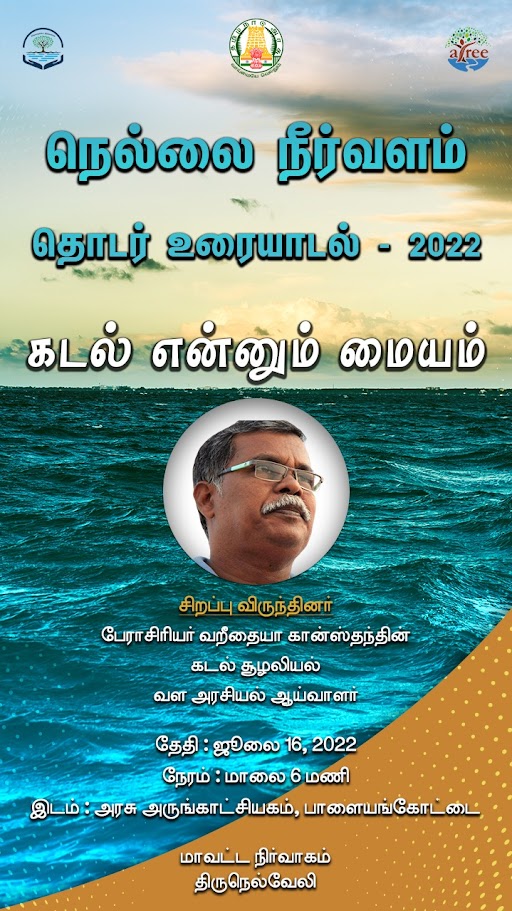
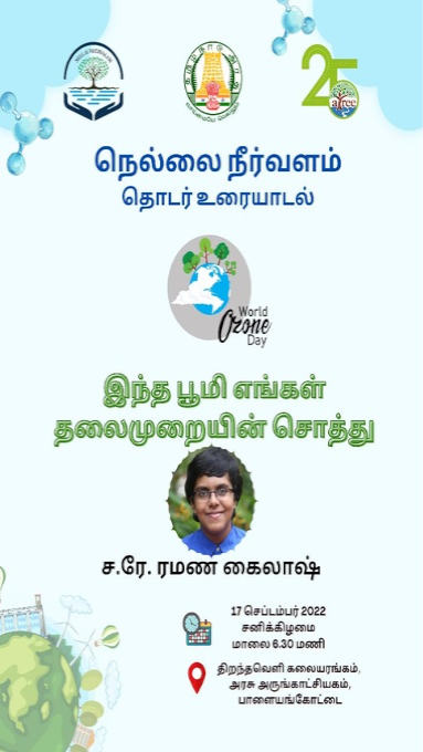
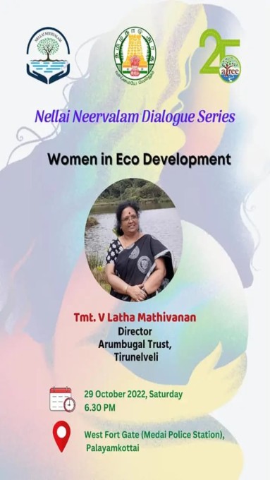
Nellai Neervalam Dialogue Series
Disaster Management during Floods